
RibbonOS
Empowering Data-Driven Mapping with Unmatched Flexibility
About RibbonOS
RibbonOS is an innovative, self-hosted mapping solution integrated into the Ribbon DAS web application. RibbonOS empowers real estate analysts, urban planners, and data professionals to select regions, generate in-depth reports, and analyze geographic data with precision while keeping all the data and tools they need in one place.
With features that allow users to visualize neighborhood amenities, analyze property comps via future HelloData API integration, and generate custom reports using Ribbon’s HISTA and Claritas’s PopFacts data alongside other data sources, RibbonOS stands at the forefront of cutting-edge mapping technology.
Powerful Features at Your Fingertips
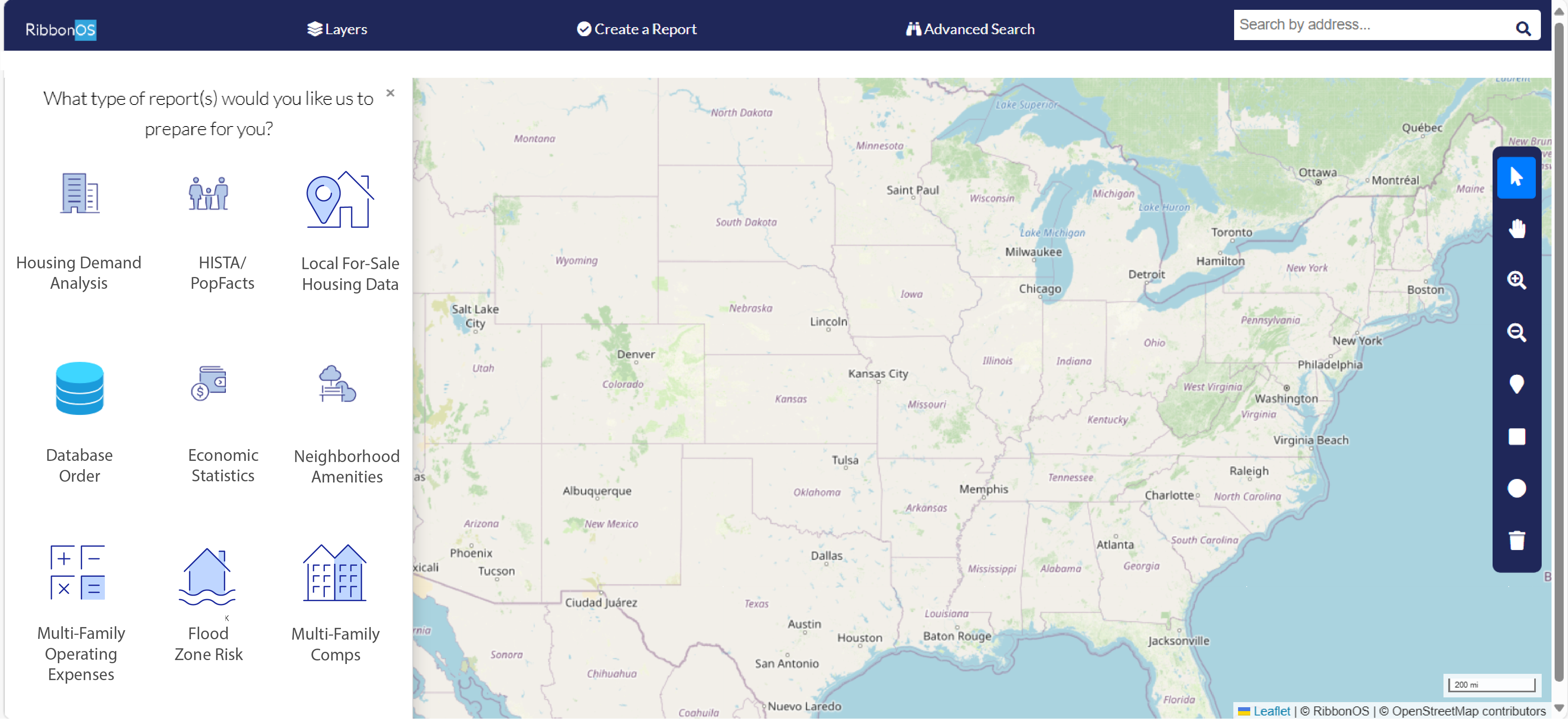
Numerous Available Data Reports
Gain unique insights to discover current trends that are happening in a local community using RibbonOS.
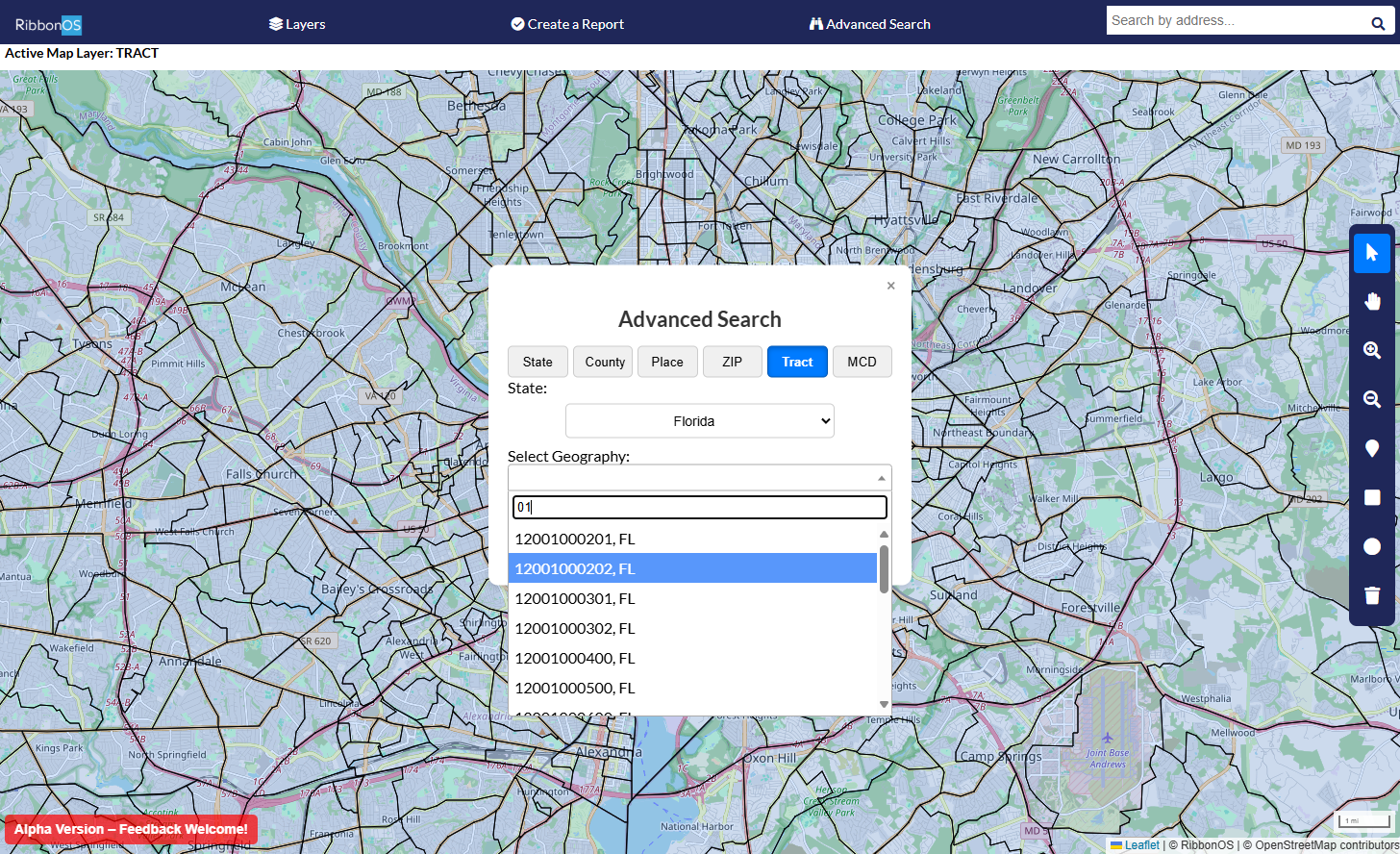
Advanced Geographic Search
Expertly developed for precision, users can search by state, county, ZIP code, city/town, or county subdivisions to streamline geographic targeting with advanced flexibility.
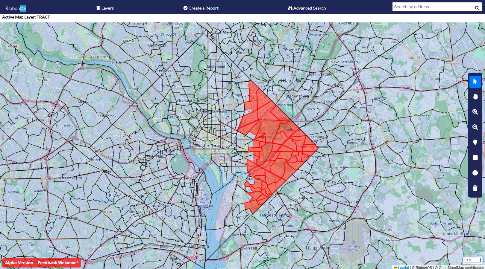
Custom Region Selection
Select and highlight specific regions on the map with ease using a single mouse click, or select in bulk using our shape-based tools. Generate detailed reports based on your custom-selected geographies.
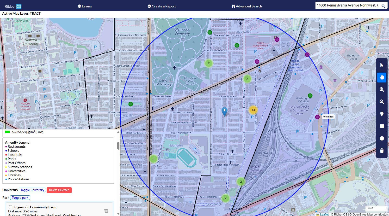
Distance-Based Amenities Visualization
Visualize amenities within a set distance from a central point. Perfect for identifying schools, restaurants, parks, and more around specific locations, enhancing location-based decision-making.
Demo Coming Soon
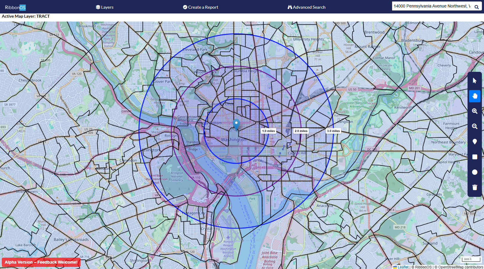
Stay tuned for an upcoming demo showcasing RibbonOS's powerful capabilities!
RibbonOS represents a significant advancement in mapping technology, driven by innovation and a deep understanding of the needs of data professionals.